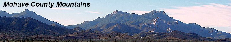
| Mohave County contains part of Grand Canyon National Park. There are also several Indian reservations. The Colorado River forms the western boundary of Mohave County.
An estimated 1,000 miles of fresh water shoreline lie within Mohave County along the Colorado River and Lakes Havasu, Mohave and Mead. The rivers and lakes offer fishing along with boating and other forms of water-oriented recreation.
Arizonas First Territorial Assembly met in 1864 to establish Mohave County. The county was named after the Mohave Indians, who had lived along the Colorado River for many years. Originally, the county included a section of Nevada.
Mohave County is the second largest county in the state. It is situated in the upper northwest corner of the state, bordering California, Nevada and Utah. This location makes it ideal when traveling to other areas. |